When GPS Was No Longer Safe: Iran’s Shift to Beidou Signals a Looming Tech Cold War

Authored On
Modified
No GPS trust. No U.S. signals.
Jammed launches, stranded ships, compromised sites.
Iran courts Beidou to escape surveillance and regain control.
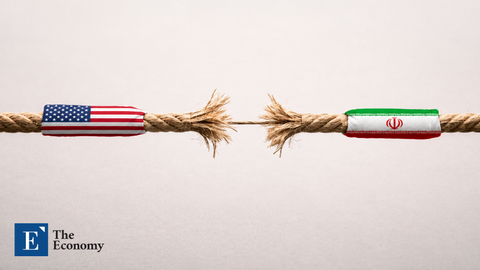
In a move that highlights the geopolitical fault lines in modern technology, Iran has officially abandoned the U.S.-led Global Positioning System and instead turned to China’s Beidou satellite network. The decision comes on the heels of escalating regional conflict and growing suspicion over foreign surveillance, sparked most recently by reports that Iranian nuclear facilities were compromised due to GPS data leaks. For Tehran, the shift represents not just a technological pivot but a strategic declaration of independence from Western oversight.
GPS Jamming and the Breakdown of Civil Order
The turning point came during the height of the Israel–Iran confrontation earlier this year, when extensive GPS jamming disrupted thousands of commercial and military systems. Tankers navigating the Strait of Hormuz lost positional accuracy, airliners were forced to reroute, and logistics chains reliant on precision timing saw operations thrown into chaos. At the center of these incidents was a surge in spoofing and signal interference, likely the result of electronic warfare tactics designed to confuse guided weapons and surveillance drones.
However, these tactics had consequences that extended far beyond the battlefield. Civilian maritime and aviation operators reported growing safety concerns. Cargo ships were seen drifting off-course, and pilots lost access to reliable navigation at critical moments. In central Israel, GPS distortion caused location apps to misplace users by hundreds of miles. The disruptions were not random; they were systematic, targeted, and deeply destabilizing. The illusion that satellite navigation was a neutral, universally accessible infrastructure began to erode.
This was not the first time the region experienced satellite-based conflict. But the scale and sophistication of the recent jamming marked a significant escalation. For Iran, already reeling from the exposure of sensitive sites allegedly pinpointed via GPS metadata, the conclusion was clear: continued reliance on a system owned and operated by a geopolitical adversary posed an unacceptable risk.
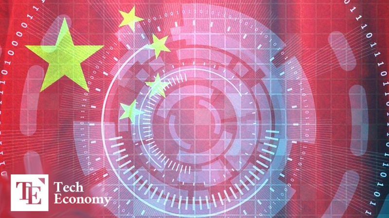
Beijing’s Beidou Offers More Than Just Coordinates
Iran’s formal adoption of China’s Beidou network was more than a technical transition; it was a recalibration of strategic alignment. Beidou, China’s answer to GPS, now provides global coverage and is already used by over two billion devices worldwide. It offers not only navigation but also time synchronization, emergency messaging, and short-range communication. In areas near China, it even provides centimeter-level accuracy, rivaling or exceeding GPS in specific use cases.
By integrating Beidou into everything from military operations to civilian infrastructure, Iran is building a digital firewall against Western influence. Communications systems, energy grids, and transportation networks are now less vulnerable to GPS manipulation or signal denial. Iranian officials have stated that the move is permanent and irreversible.
The decision also reinforces Tehran’s growing economic and diplomatic ties with Beijing. Iran has participated in China’s Belt and Road Initiative and has signed long-term cooperation agreements in infrastructure, energy, and cybersecurity. Aligning its satellite systems with China further binds Iran to a technological ecosystem increasingly distinct from the one led by the United States.
What was once an invisible layer of shared infrastructure, satellite timing, location tracking, and data relay, has now become a dividing line in global politics. Beidou is not just an alternative to GPS; it is a symbol of independence from a surveillance architecture many nations now perceive as compromised.
The Decline of a Unipolar Satellite World
Iran’s rejection of GPS marks a turning point in what some analysts are calling the beginning of a global tech cold war. Where the digital realm was once unified under broadly accepted standards, fractures are emerging as countries seek greater control over their data and infrastructure. Satellite navigation, once considered a public good, is becoming a tool of strategic leverage.
Other nations are watching closely. Countries in South and Southeast Asia, Africa, and the Middle East, regions where Beidou has already gained traction, may now see Iran’s decision as a precedent. Even in Europe, discussions are underway about building resilience through satellite redundancy and multi-constellation receivers that can switch between GPS, Beidou, Russia’s GLONASS, or the European Galileo network.
The economic implications are also growing. GPS disruptions increase shipping costs, delay flights, and erode investor confidence in trade routes. Civilian sectors, such as agriculture, telecommunications, and autonomous vehicles, all rely on uninterrupted access to satellite signals. In an era where digital infrastructure defines economic power, signal denial is emerging as a potent tool of deterrence.
Iran’s decision is not just a reaction to wartime vulnerabilities but a proactive reshaping of its national infrastructure in anticipation of a less stable global order. In choosing Beidou, Iran is betting on a future where satellite technology is no longer neutral, and where digital autonomy will be as critical to sovereignty as borders and treaties.
As tensions continue to mount and countries reassess the security of foreign technologies embedded in their systems, more will likely follow suit. The shift away from GPS is not only about evading surveillance, but it is about choosing sides in an increasingly polarized technological world. For the first time in decades, the skies are no longer shared. The satellites circling above now reflect the alliances, rivalries, and ambitions of the nations below.
Similar Post